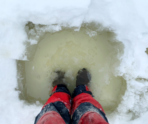


NORTH STORMONT, Ontario - Environment Canada is forecasting up to 10 mm of rain across our jurisdiction, with mild temperatures, contributing to snow and ice melt.
Temperatures will lower over the weekend, but daytime temperatures will remain above zero next week, further contributing to snow and ice melt.
Precipitation and snowmelt will increase water levels and flows in rivers, potentially causing nuisance flooding in low-lying areas. Unstable ice conditions may also be present in systems.
As snow continues to melt, rivers and streams across the jurisdiction will result in higher water levels, fast-flowing water and slippery or unstable banks.
Additionally, these conditions elevate the risk for ice breakup and ice jams at bridges, culverts and other areas producing localized flooding concerns in low lying areas.
Residents are advised to exercise extreme caution when near rivers and waterbodies due to increasing river flows and slippery conditions. Parents are encouraged to explain these dangers to their children.
Residents in flood prone or low-lying areas, historically susceptible to flooding, should take the necessary precautions to protect their property. Please ensure:
• Sump pump is clear, in good working condition and has a backwater valve on it.
• Easy access to portable backup generator and pump.
• Downspouts are clear and the outlet is at least 3 m from the dwelling.
• Securing items that might float away as flows increase.
This water safety statement is in effect until March 31 at 5 p.m. or until an update has been issued.
SNC monitors the water levels and weather forecasts as part of the Flood Forecasting and Warning Program. Updates are provided as conditions change.
Please visit www.nation.on.ca for more information. To provide feedback with respect to changes in water related conditions please email waterwatch@nation.on.ca, post on SNC's Facebook page or Twitter page.